Advancing Spatial Intelligence in Urban Practice
*
Advancing Spatial Intelligence in Urban Practice *
The GeoSpatial Hub supports urban professionals and organisations in turning spatial data into decision-ready insight.
We provide applied training, tailored programs, and expert support for teams working across planning, mobility, climate, research, and environmental strategy.
Powered by All Things Urban, a leading global career platform at the, connecting 100,000+ professionals and organisations worldwide.
Trusted by 300+ Professionals and Teams From Leading Organisations
We work with design firms, public agencies, consultancies, NGOs, research centres, and universities to strengthen spatial capacity where it matters most: in real projects and decisions.


We help build practical GIS and spatial analysis capacity through applied education, custom training, consulting, and long-term organisational support.
-
Training & Capacity Building
Tailored programs for public agencies, consultancies, universities, NGOs, and research teams.
Training is built around your data, priorities, and workflows, whether you are developing in-house GIS capacity or strengthening evidence for decision-making.
-
Applied Education
Professional GIS and spatial analysis courses designed for people already working with cities, policy, data, and research.
Focus on real urban workflows, shared spatial language, and confident application at work.
-
Spatial Consulting
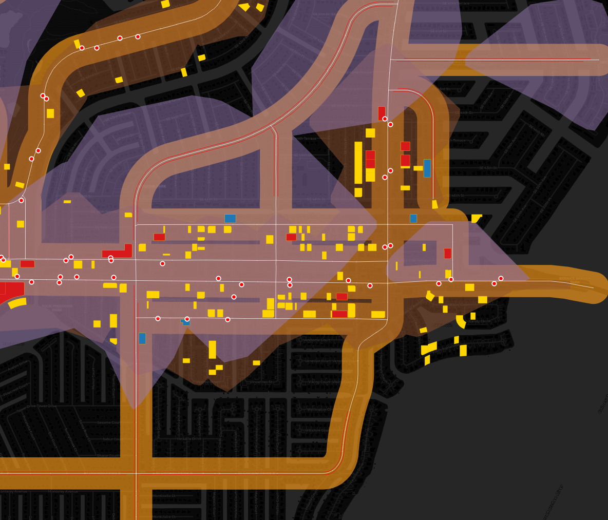
Project-based support combining GIS expertise with urban, environmental, and mobility knowledge.
We support mapping, spatial analysis, data structuring, and decision-ready visual outputs.
-
Professional Community
A global network of urban and environmental professionals applying GIS in practice.
Share case studies, exchange methods, and learn across disciplines and regions.
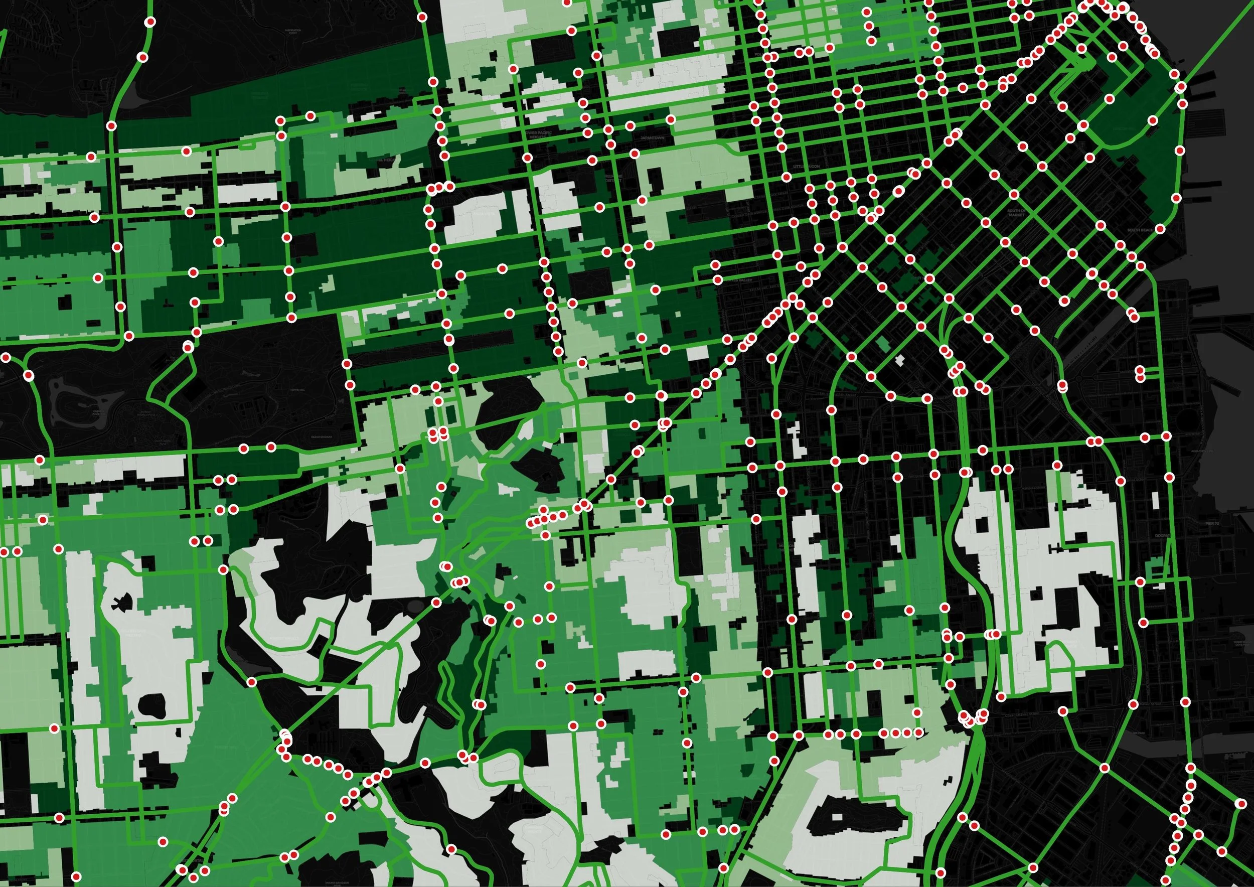
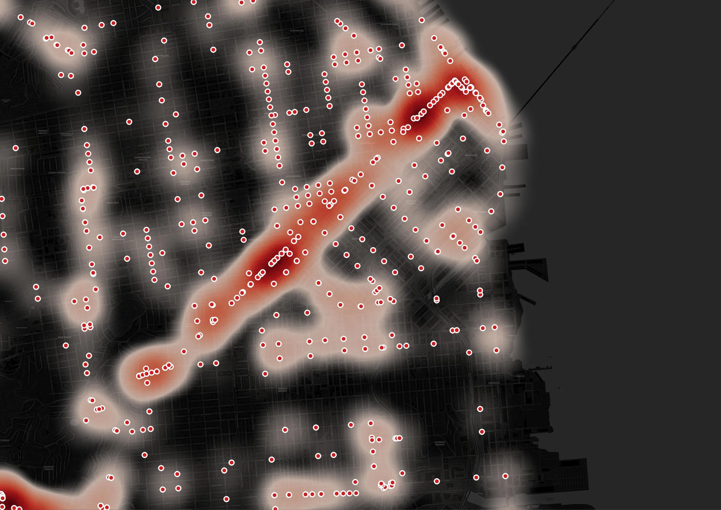
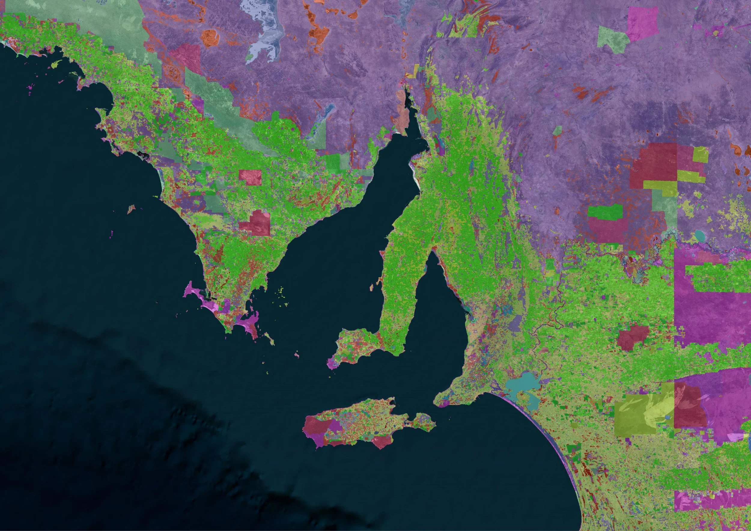
GIS Training, Consulting & Spatial Capacity Building for Organisations
We help organisations integrate spatial analysis into planning, research, strategy, climate action, mobility, and environmental work.
Tailored GIS Trainings
Custom programs delivered as workshops or multi-week training series for public agencies, consultancies, universities, NGOs, and research institutes.
Applied Spatial Consulting
Hands-on project support across mapping, spatial modelling, scenario analysis, and decision-ready dashboards.
Strategic Spatial Insights
Executive sessions and leadership briefings on using spatial intelligence for policy, planning, and innovation.
Long-Term Capacity Building
Development of sustainable in-house GIS practices including workflows, templates, QA processes, and onboarding.
Data Management & Structuring
Support with organising, cleaning, standardising, and maintaining geospatial data and repeatable workflows.
Collaboration on Research
Co-development of spatial components for research, impact assessments, and innovation projects.
Interested in learning more about what we can do for your team?
Who We Work With
Urban planning departments · Architecture and design firms · Consultancies · Universities · Research institutes · Think tanks · NGOs · Public agencies · Urban tech and mobility companies · Sustainability and R&D teams
What Our Clients and Graduates Say
"I wanted to deepen my knowledge in data-based geospatial analysis and learn about the practical applications and tools of QGIS. The course not only met but exceeded my expectations."
Guitsa Herro
Project Architect at Gehl

"I've been using QGIS for a while, and this course taught me new tools and processes I wasn't aware of, like some representation symbolologies and report tools that are so helpful and time savers."
Wladimir De la Torre
Program Associate at
Global Designing Cities Initiative

“A QGIS course is essential for spatial data analysis, and I found the customized training highly valuable due to its expert trainers, interesting training materials and excellent organization.”

Trinidad Fernandez
Head of Climate Transition Strategies
Business Unit at Fraunhofer IAOProfessional Courses for Urban Practice
Practical GIS and spatial analysis courses for professionals working in urban planning, mobility, climate, research, and environmental fields.
All courses focus on applied workflows, real datasets, and organisational relevance.
CORE CAPACITY-BUILDING PROGRAM

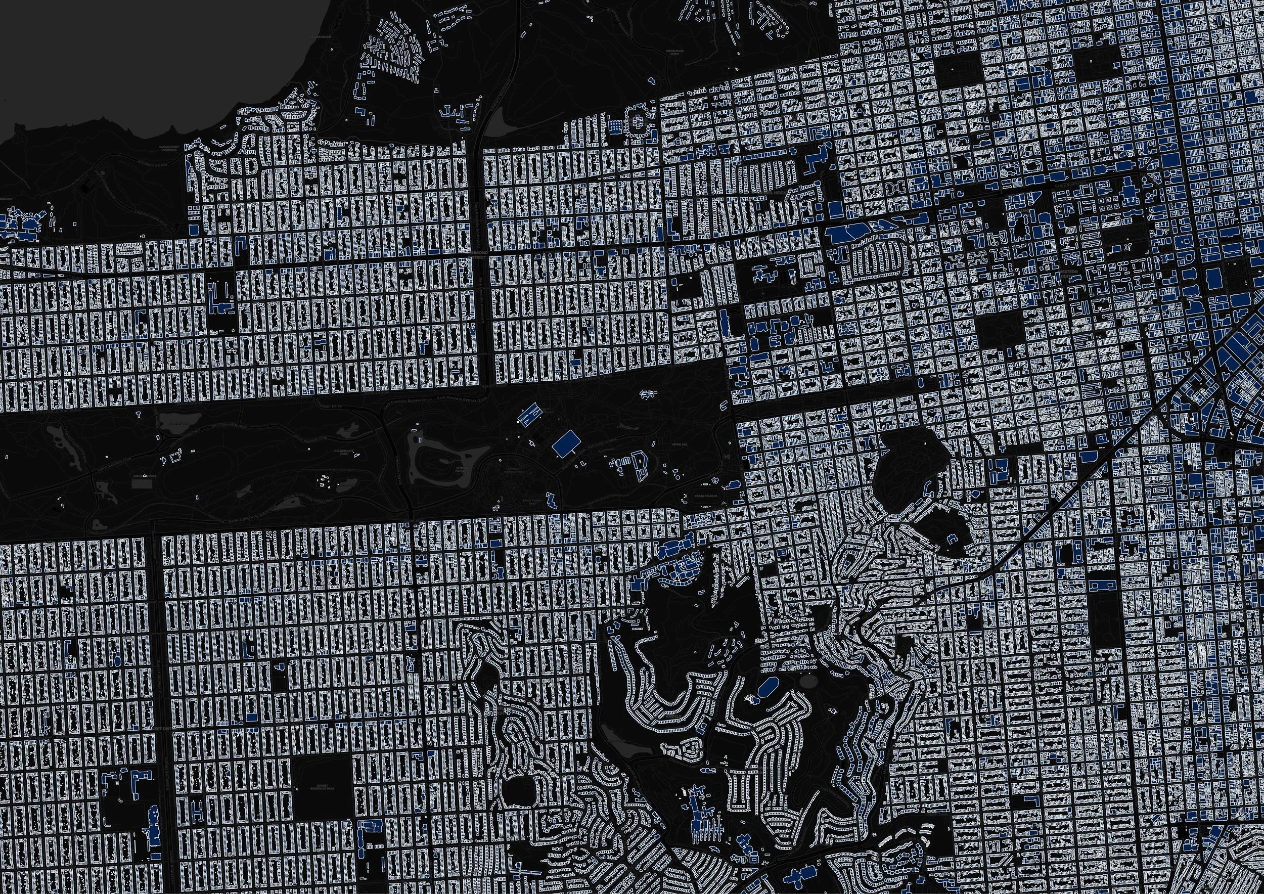
GIS and Spatial Analysis for Urban Practitioners
-
A 6-week program that teaches you how to use GIS and spatial analysis to support real urban and environmental decisions. Includes live workshops, hands-on exercises, and a final project.
-
Start: February 2, 2026
-
From €96/month
APPLIED WORKSHOP
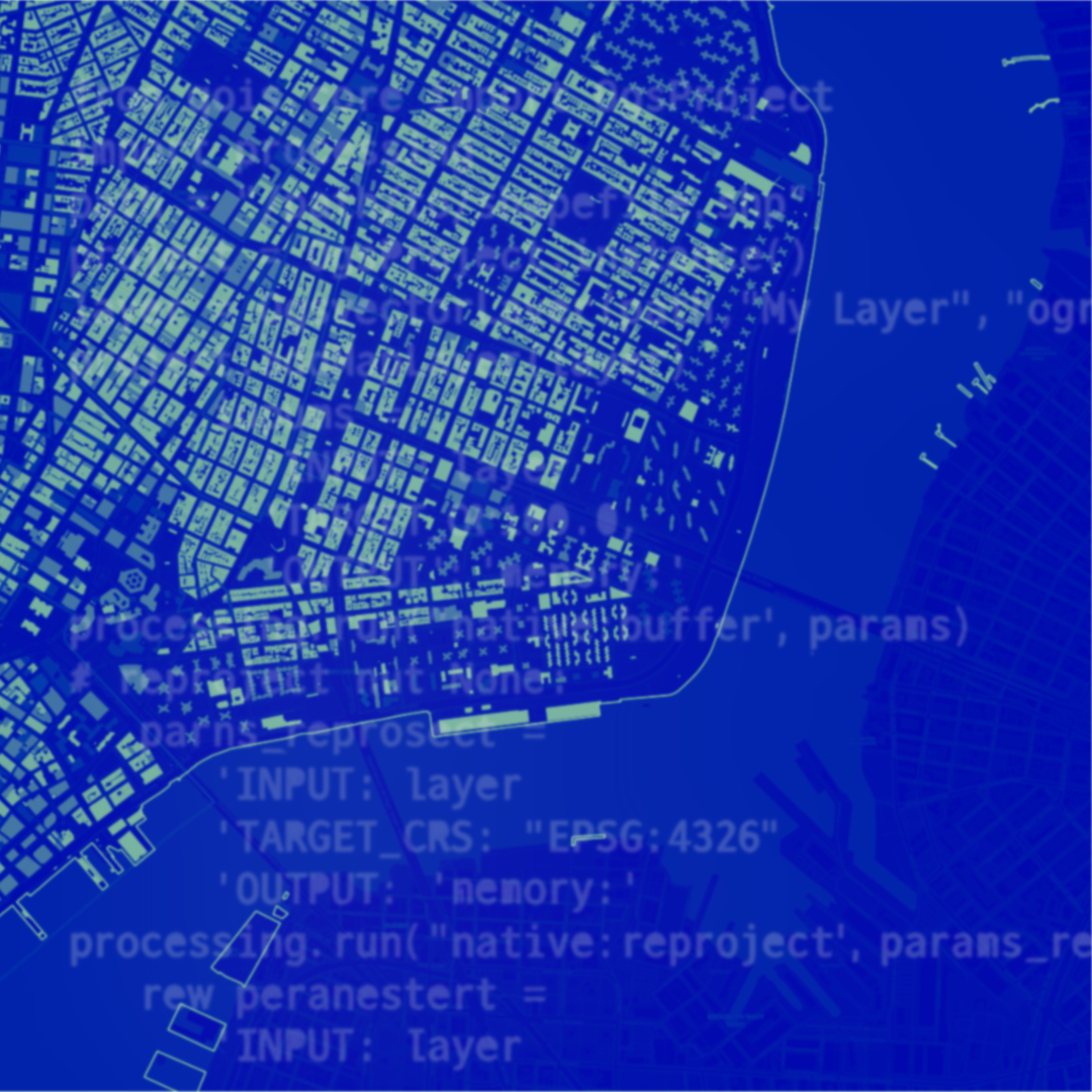
AI-Aided Workflows in QGIS for Urban Practitioners
-
Learn how to speed up and improve your GIS work using AI tools inside and around QGIS. Ideal for professionals who want smarter, faster spatial workflows.
-
On-demand recording is available
-
On-demand recording for €35
SHORT COURSE
Storytelling with Spatial Analysis & Maps
-
Discover how to turn spatial data into clear, compelling stories for policy, design, and public communication. Focus on map design, visual clarity, and narrative structure.
-
May 2026
-
From €95
Contact Us
Interested in employer-paid enrolment, team training, or custom spatial support?
Share a few details and we’ll get back to you.